Regional Transit Map


Download a printable PDF:

PDF Regional Transit Map - Effective March 2011 (2.3 MB)

Or use the zoomable web-based image viewers below. Simply click on the maps or on the included toolbars to zoom in and navigate!

You can also view the MTS network on Google Maps. Try it now!

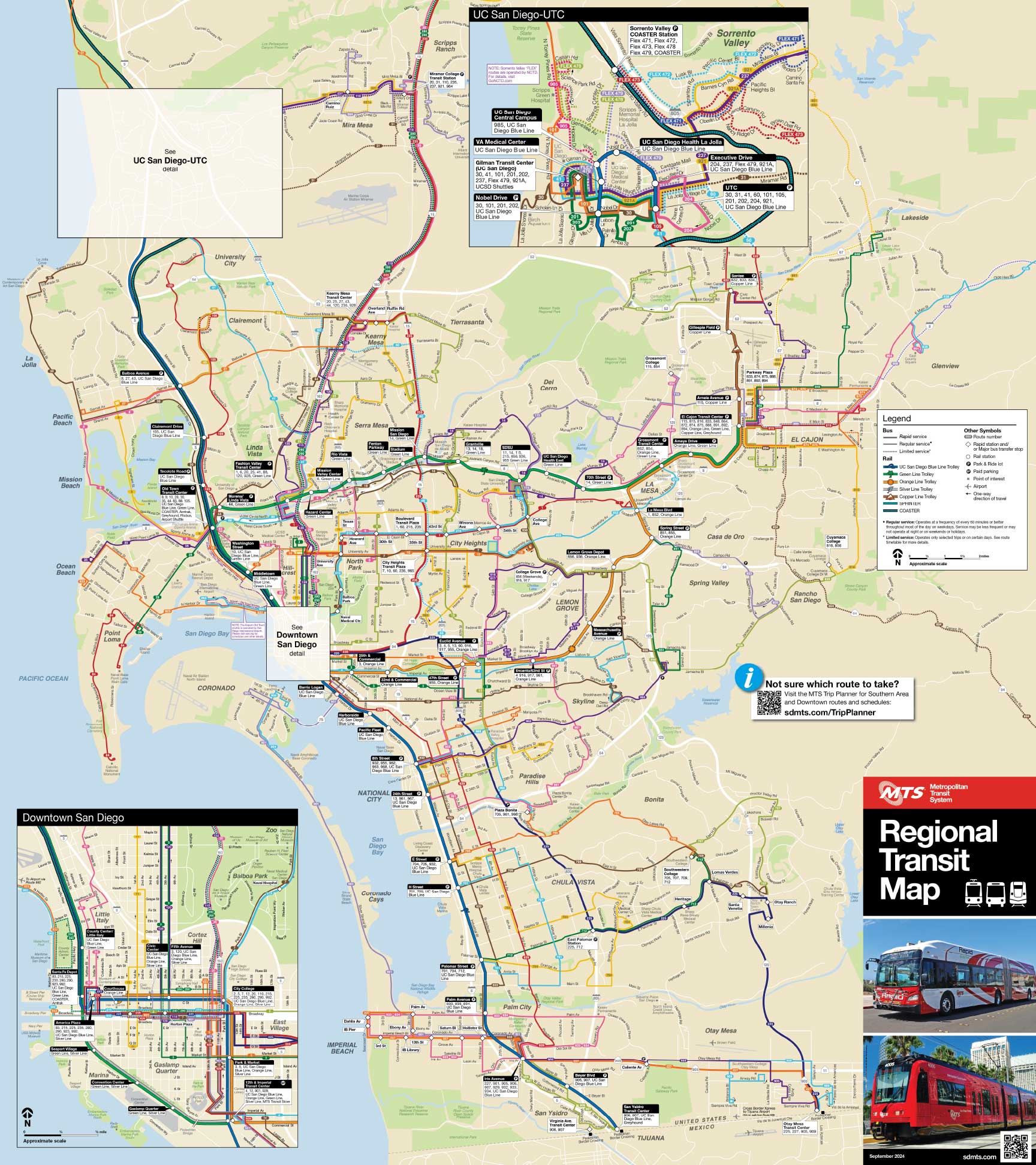
Southern Area Map and Downtown San Diego Inset
(Southern Area/Downtown San Diego are served primarily by MTS.)


Northern Area Map and Rural Area Inset
(Northern Area is served primarily by NCTD; Rural Area is served primarily by MTS.)


(To view these maps, you must have Flash Player 9 or newer installed on your computer. Flash Player is available to download for free.)


Home | Rider Alerts | Trip Planning |


eStore | Jobs | Business Opportunities | Rider Information
Customer Service | Privacy Policy | Title VI Policy

To report a problem with this site, click here
Copyright © 2012 MTS

Bus InfoTrolley Info
Mobile | Text
 
Metropolitan
Transit System